Property Description
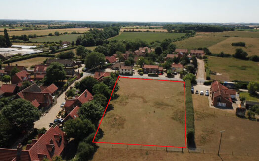
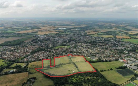
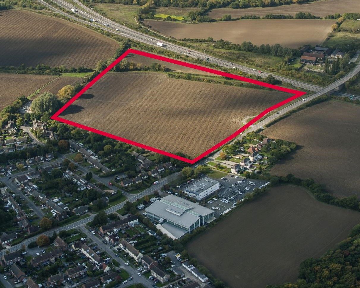
The land at Takeley extends to approximately 9.52 hectares (23.52 acres) and is located to the east of Parsonage Road. To the north of the site lies the A120 with the outer extent of Stansted Airport beyond. Residential development borders the site to south, with open agricultural fields to the west. Outline planning permission has been granted for up to 119 dwellings on greenfield agricultural land with an affordable housing provision of 40%. The site offers a rural outlook, yet it is also situated near to a number of major transport links, including Stansted Airport and M11.
Key Features:-
- Located on the northern edge of Takeley, a key village within Uttlesford District.
- Approximately 4 miles to Bishop’s Stortford, 30 miles to Cambridge and 40 miles to London.
- Close to Stansted Airport and a number of nearby train stations offering direct links into London and Cambridge.
- Outline Planning consent granted for up to 119 dwellings (including including 40% affordable) and either a community building (use class D1) or a dwelling.
- Access applied for in full and all other details to be reserved
- Unilateral undertaking for section 106 contributions.
Address: Land off Parsonage Road, Takeley, Essex
Area: Essex
Country: United Kingdom
Open In Google Maps Property Id : 2825
Type of Property: Residential Development Land
Hectares: 9.52


